
Now Reading: India Launches NASA‑ISRO Earth‑Observation Satellite NISAR aboard GSLV‑F16
-
01
India Launches NASA‑ISRO Earth‑Observation Satellite NISAR aboard GSLV‑F16
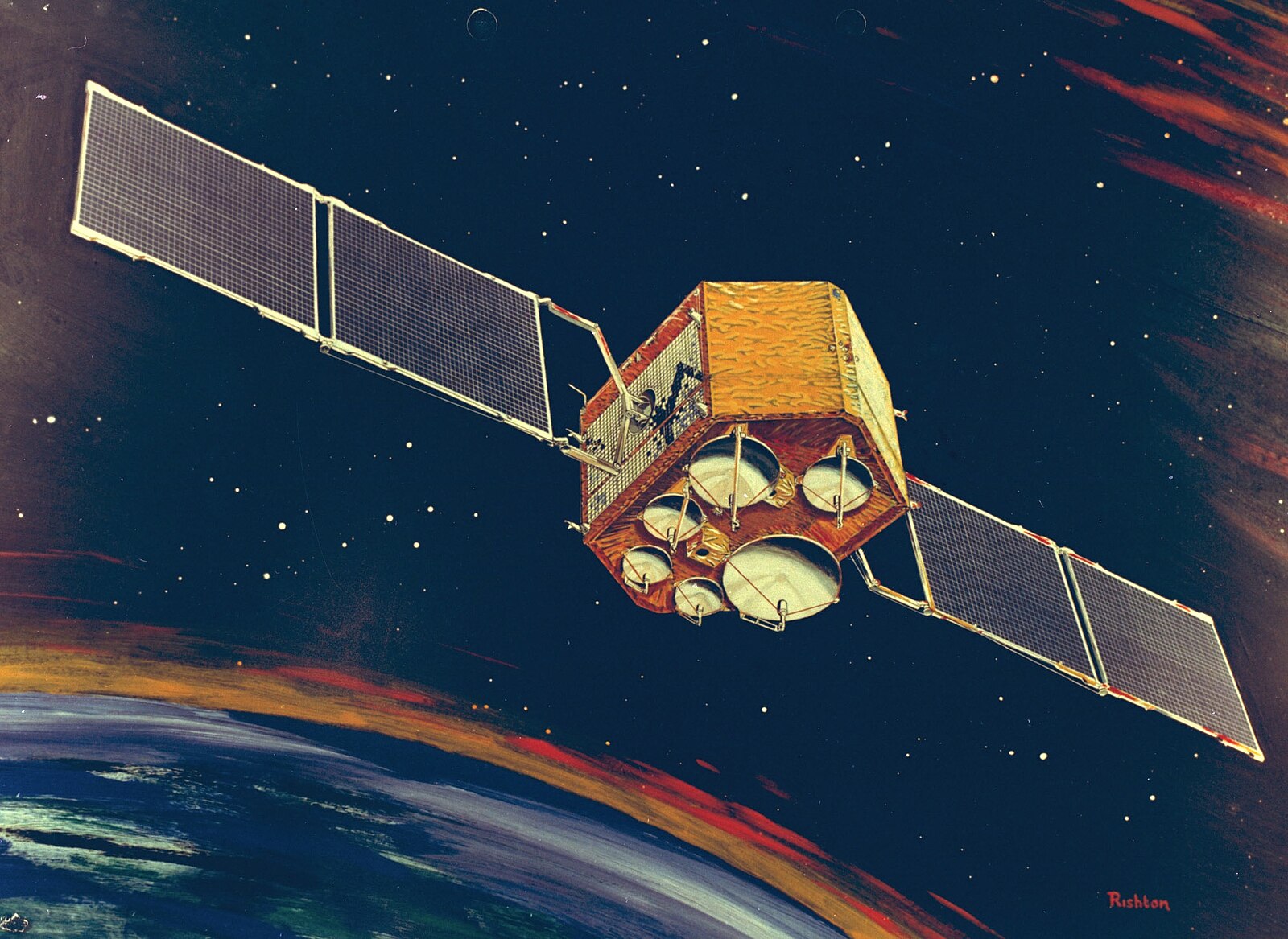
In a historic milestone in Indo‑U.S. cooperation, the Indian Space Research Organisation (ISRO) and NASA successfully launched the NASA‑ISRO Synthetic Aperture Radar (NISAR) satellite on July 30 at 5:40 PM IST from the Satish Dhawan Space Centre in Sriharikota, India.
The satellite, carried by India’s GSLV‑F16 rocket into a near‑polar Sun‑synchronous orbit approximately 743 km above Earth, weighs about 2,392 kg and marks the first dual‑frequency radar mission combining NASA’s L‑band and ISRO’s S‑band SAR systems. NISAR will map the global land and ice surfaces every 12 days, using microwave imaging capable of detecting surface changes down to a centimetre, irrespective of weather or daylight.
The open-data policy ensures that scientists worldwide, including those in developing nations, can access this data for tracking climate change, glacier retreat, sea-level rise, ground deformation (from earthquakes, landslides, and volcanoes), forest biomass, agricultural health, and water resources.
From a legal standpoint, the mission demonstrates substantial compliance with international space law, including transparency and data sharing as mandated by the Outer Space Treaty and Cooperative Agreements. Liability and satellite operations will adhere to customary international obligations, particularly through cross-agency coordination and shared responsibility. Export controls, licensing, and intellectual property rights have also been meticulously managed to comply with both nations’ laws, ensuring the lawful transfer of technology and scientific collaboration.
The joint mission establishes itself as a cost-efficient space power and sets a precedent for global, peaceful, and legally sound space partnerships.